Hong Kong Lot Viewer in 10 steps
Everything on one map — lots, plans, records and dashboards.
01 · INTRODUCTION
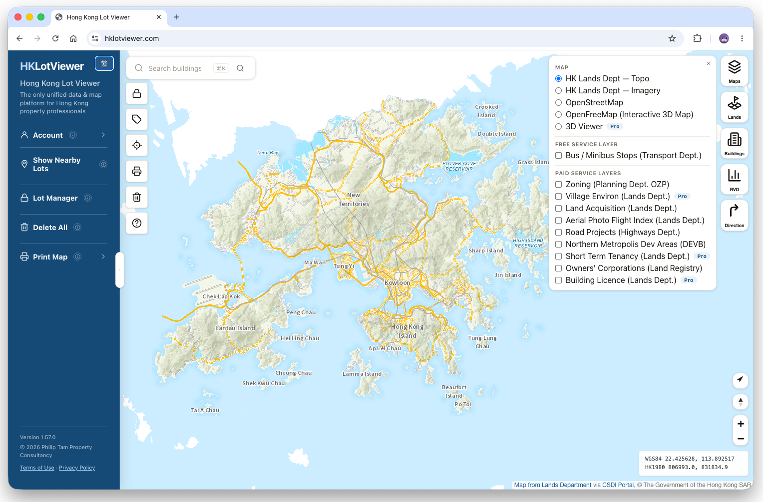
One screen, three toolbars
- Left panel — account, nearby lots, Lot Manager, print
- Left rail — labels, marker, locate, print, clear, help
- Right rail — Maps, Lands, Buildings, RVD, Directions
- Search bar — top of the map
02 · SEARCH
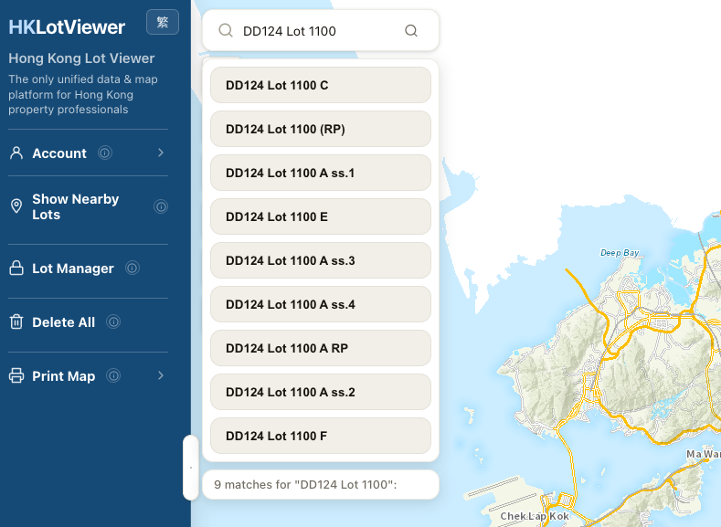
Find any location
- Building name, street number, or lot number
- DD Lot — e.g.
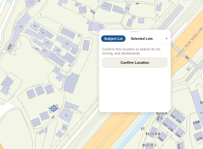
DD124 Lot 1100, sections and RP included - Or click a point on the map
- Pick a result → Confirm Location to load its lot, zoning and dashboards
03 · BASE MAP
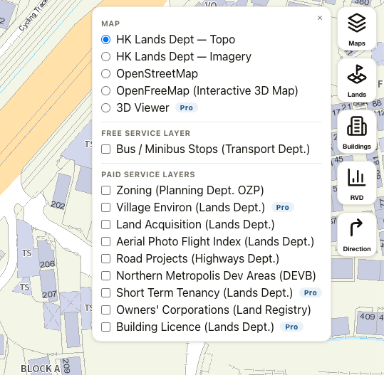
Choose your map
- Lands Dept Topo map
- Lands Dept Imagery (aerial)
- OpenStreetMap
- OpenFreeMap — interactive 3D
- 3D Viewer (Pro)
Open with the Maps button, top right.
04 · LAYERS
Overlay the data you need
- Planning — Zoning (OZP)
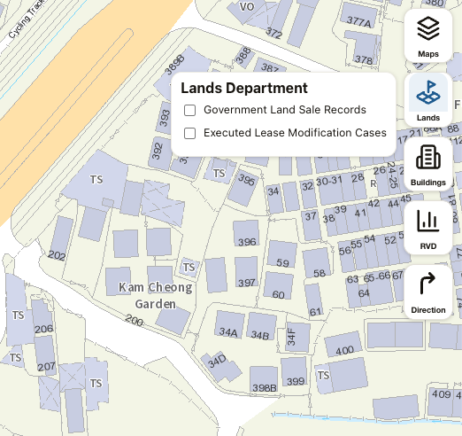
- Lands — Short Term Tenancy, Building Licence, Village Environ, Land Acquisition, Land Sale, Lease Modification, Aerial Photo
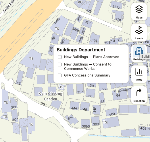
- Buildings — approved plans, consent to commence works, GFA concessions
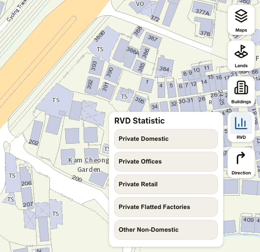
- RVD — rent & price statistics
- Others — road projects, Northern Metropolis, Owners' Corporations, bus & minibus stops
05 · NEARBY LOTS
Show the lots around a site
- Set a location, then Show Nearby Lots
- Load nearby lot boundaries
- Each labelled with its lot number
06 · SELECT LOTS
Build a selection
- Click a lot to select it
- ⌘ / Ctrl-click to add or remove more
- Shift-drag a box to select an area
- Export the selection as CSV
07 · LAND DOCUMENT DASHBOARD
The lease and the records
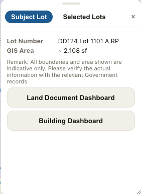
- Open from the Subject Lot panel
- Lot register, lease conditions, GFA / height / site cover
- Memorials — dates, nature, consideration
- Subdivision history
Business Pro / Personal Pro.
08 · BUILDING DASHBOARD
What's built on the lot
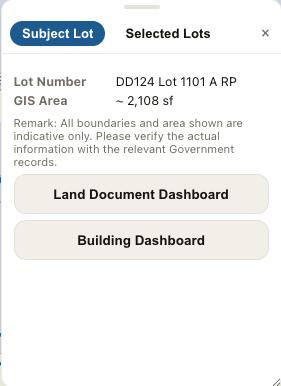
- Open from the Subject Lot panel
- Building name, height, storeys
- Occupation Permit history
- OP structures, lot numbers, works history
Business Pro / Personal Pro.
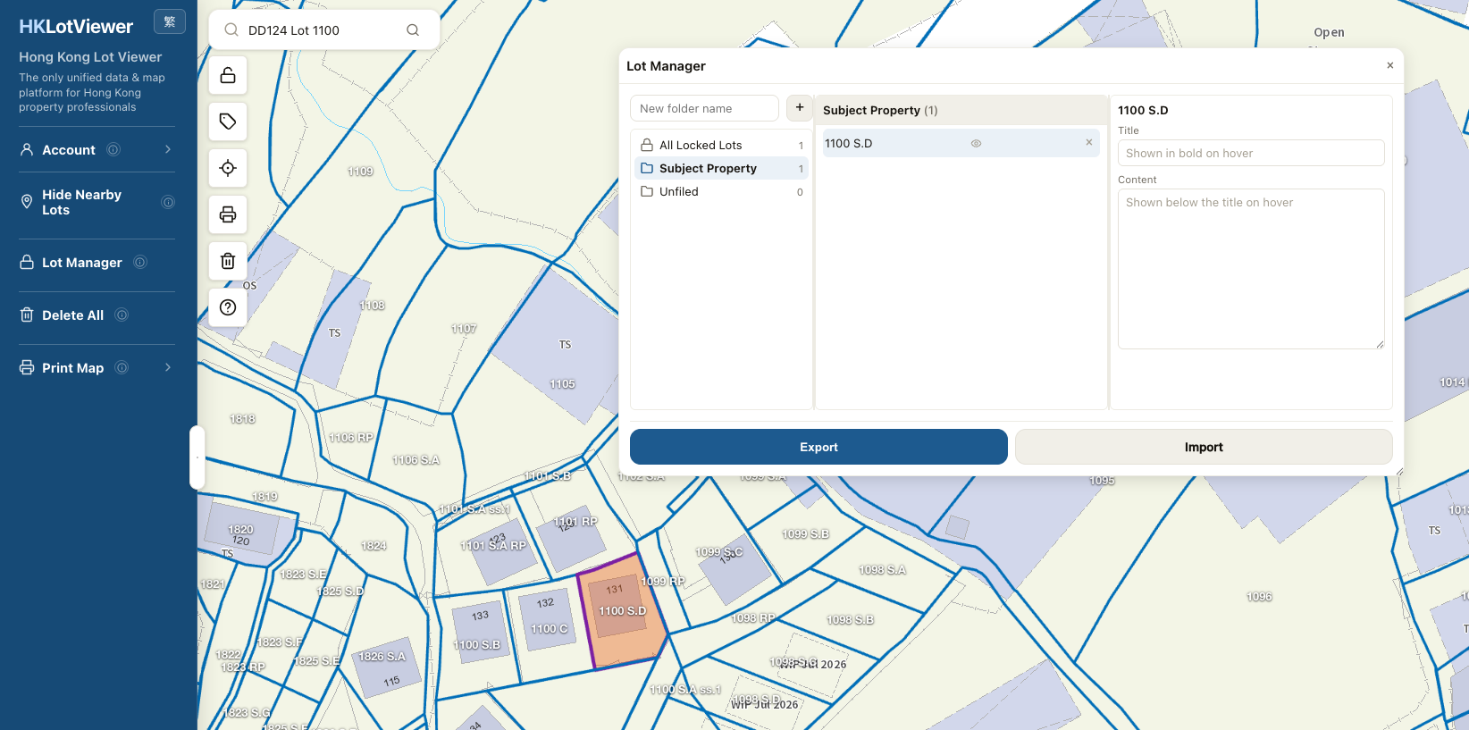
09 · LOT MANAGER
Keep the lots that matter
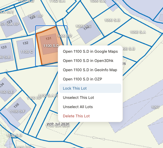
- Double-click a lot, or use its right-click menu, to lock it
- Organise locked lots into folders
- Add a title and note to each
- Export / import the whole set
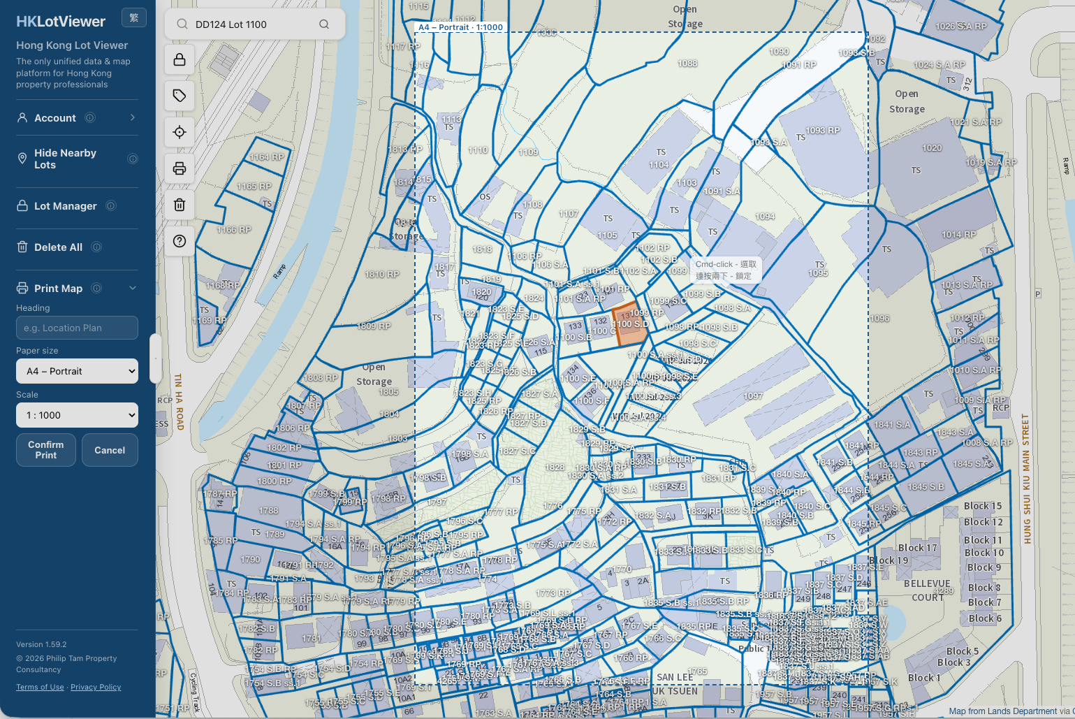
10 · PRINT
A scaled plan for the report
- Set heading, paper size and scale (1:500 – 1:5000)
- A fixed frame shows the exact ground area covered
- Pan the map to compose, then Confirm Print
- Downloads a PDF plan